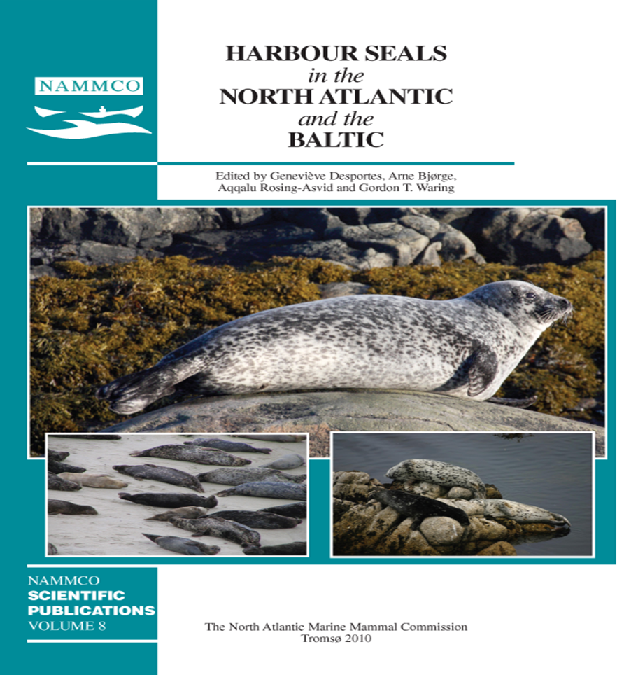
Winter habitat use of harbour seals (Phoca vitulina) fitted with Fastloc™GPS/GSM tags in two tidal bays in France
DOI:
https://doi.org/10.7557/3.2691Keywords:
harbour seals, habitat use, movements, diving behaviourAbstract
Winter movements and habitat use of harbour seals (Phoca vitulina) were investigated in two tidal bays in France, at the southern limit of their species range in the Northeast Atlantic. We fitted 15 seals with Fastloc™GPS/GSMtags in the Baie du Mont-Saint-Michel (BMSM) and the Baie des Veys (BDV). Tags relayed 20.6±7.1 GPS locations per seal-day, 81% of all dives performed by the seals and 87% of haulouts, during an average tracking duration of 108±56 days. One seal travelled 380 km away from the BMSM but the other seals remained stationary, with 95% and 55% of at-sea locations ≤ 5 km from the haulout sites in BMSM and BDV respectively. Home range sizes were 137 and 161 km² in BMSM and BDV, and core areas’ sizes, 35 and 22 km² respectively. The seals remained very coastally in both sites with 93% and 71% of at-sea locations located in the intertidal zone of BMSM and BDV respectively. Accordingly, dives were shallow with 63% and 61% of dive maximum depths <4 m and 94% and 88% <10 m (in BMSM and BDV respectively). Preferred foraging areas were located in tidal channels in BMSM, sometimes in the vicinity of rocks or mussel farms. In BDV one seal made foraging trips 10-15 km offshore but all other seals repeatedly used coastal areas, often foraging around mussel farms, shipwrecks or intertidal rocks in tidal currents. We suggest that the importance of the tides combined with local features of the topography allow seals to predict prey availability, driving their foraging strategies towards a number of specific coastal areas. These results further illustrate the behavioural plasticity of the species according to habitat and environmental conditions. Fastloc™ GPS/GSM telemetry is particularly well adapted for the study of seals’ habitat use at a fine geographical and temporal scale, as long as they occasionally come close to shore within GSM coverage.Downloads
Published
2010-09-01
How to Cite
Vincent, C., McConnell, B. J., Delayat, S., Elder, J.-F., Gautier, G., & Ridoux, V. (2010). Winter habitat use of harbour seals (<i>Phoca vitulina</i>) fitted with Fastloc™GPS/GSM tags in two tidal bays in France. NAMMCO Scientific Publications, 8, 285–302. https://doi.org/10.7557/3.2691
Issue
Section
Articles


